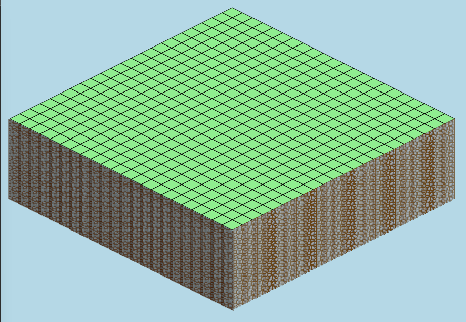
I have a map! I also got to take advantage of another application I have called mecca-pix, which I used to create the floor tiles (I guess that would be considered the crust?). It's a thing I made that takes a bitmap image and converts it to SVG, and lets you quantize the colors so that it can be expressed in a small number of paths.

So now we need some kind of toolbox, and I'll start by making a button for placing roads. But before I get too far, I have to implement the interactivity.
The way I've done this before is to add a second layer of SVG squares that is *invisible* and just acts as click/hover targets.
Edit: This may not be necessary... I think the reason it was needed for my interactive graph was because I needed the mouse targets to be *offset* from the actual grid lines, since the targets were the *intersections*. But in this situation the targets line up to the actual squares.
I'm going to follow SimCity BuildIt's way of dealing with infrastructure, which is much simpler than SimCity 2000. Basically, the roads also carry power and water, making it so you don't have to mess with pipes or power lines (which always need to go along the roads anyway). All you need to do is put your buildings along a road.
Now, if this were my ideal city, it wouldn't have any roads... only bike paths.

