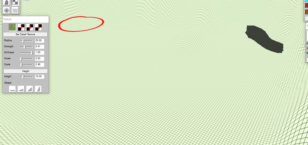
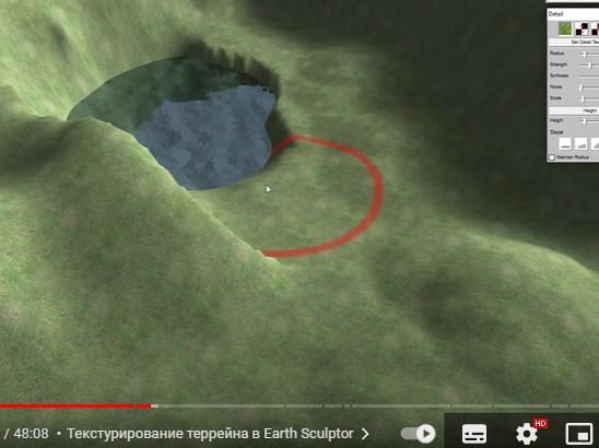
1) The best option is to use the Earthsculptor program. Once the landscape is ready, you will need to export it as height maps. It is important that the image size must be a multiple of 2. After this, in a serious editor you need to create a terrain and import this height map. You can also adjust the size, height and other parameters of the landscape during the terrain creation process.
2) A worse option. Create a terrain from a brush with many polygons (Serious Editor). In the vertex selection mode (vertex mode - symbol '.' on keyboard), drag the required vertices under the shape that is intended in the map.
3) Create a mountain model in some model editor (For example, Blender). Transfer it to a SeriousModeler and save it in mdl format. Use the modelholder entity to place the model on the level. This method is good if the mountain is somewhere far away and the player does not need to get to this place.


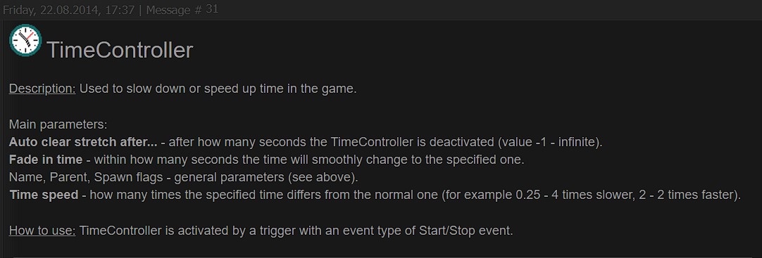
 i have a Question , is there a Video to how the CostumEnemyCollision Work ? and what is that timeController ?

