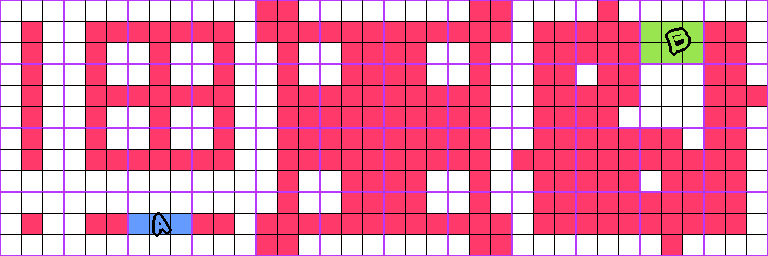
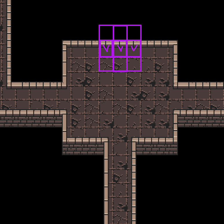
I have trouble understanding how actually you draw your map. i.e. which cells are on and which are off.
My understanding is that the middle of each cell represents the wall itself, and 8 minisquares around it are the presence or not of the neighbours. So yeah, northen and southen horizontal walls would be the same because both, the void and the floor are marked as empty on above and below the wall. Like A (blue) in pic above: you have wall to the left, and right, nothing up, down and corners.
B (green) is in the other hand void/floor is to the top, but there are wall to the bottom.


