Some little troubles with JSON file...
Hi Watabou,
Still using the VG with my greatest satisfaction. Congrat !
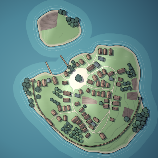
I am using some JSON exports of VG. I analyze them and create splatmap in UNITY. I am able to create different textures for different features (water, fields, square, ...). I have troubles with the "water" MultiPolygon geometry, in case of tag "island".
Here the PNG :

And a splatmap of the polygons of "water", except the last polygon :

It seems that, contrary to other generations ("pond", "river", ...), in case of "island", the last polygon being equal to "earth", the logic is "earth", minus previous polygons ? Is it correct ?
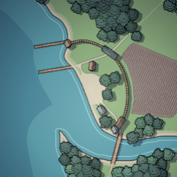
I have an other question. In a generation with tag "estuary", I got that :

And the splatmap of all polygons of "water" is :

Seems good. But I also draw vertices of each polygon (not obvious to see, but they are the small yellow points). I got "extra" points. Are they still polygons of something ?
Best Regards
Mallatius

