In this case there is only one left rectangle. There is no right rectangle (which should be the same as having a transparent right rectangle if you need it for some reason), so the hatching is not obscured. There is no explicit corridor underneath all this, so I don't need to care about showing/not showing it. The whole cell is a corridor and a door at the same time.
A member registered Oct 31, 2014 · View creator page →
Creator of


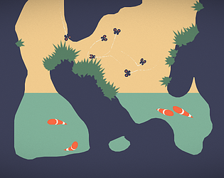


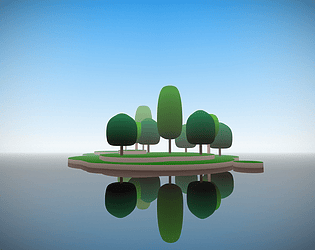
On an oversee trip twelve teenagers find themselves stranded on a remote island...
Simulation
Play in browser


Run in browser

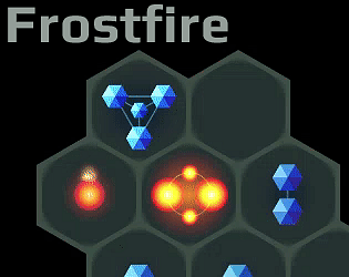
Frostfire is an abstract match-3 puzzle game combining both new and familiar mechanics to create deeper gameplay.
Puzzle
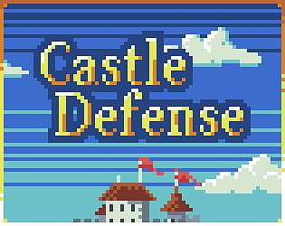
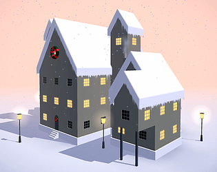
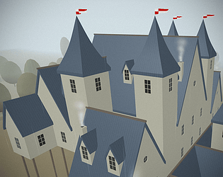
Tiny strategy game about defending a castle. Please read the description on the game page
Strategy
Play in browser