Thank you for your comment!😄
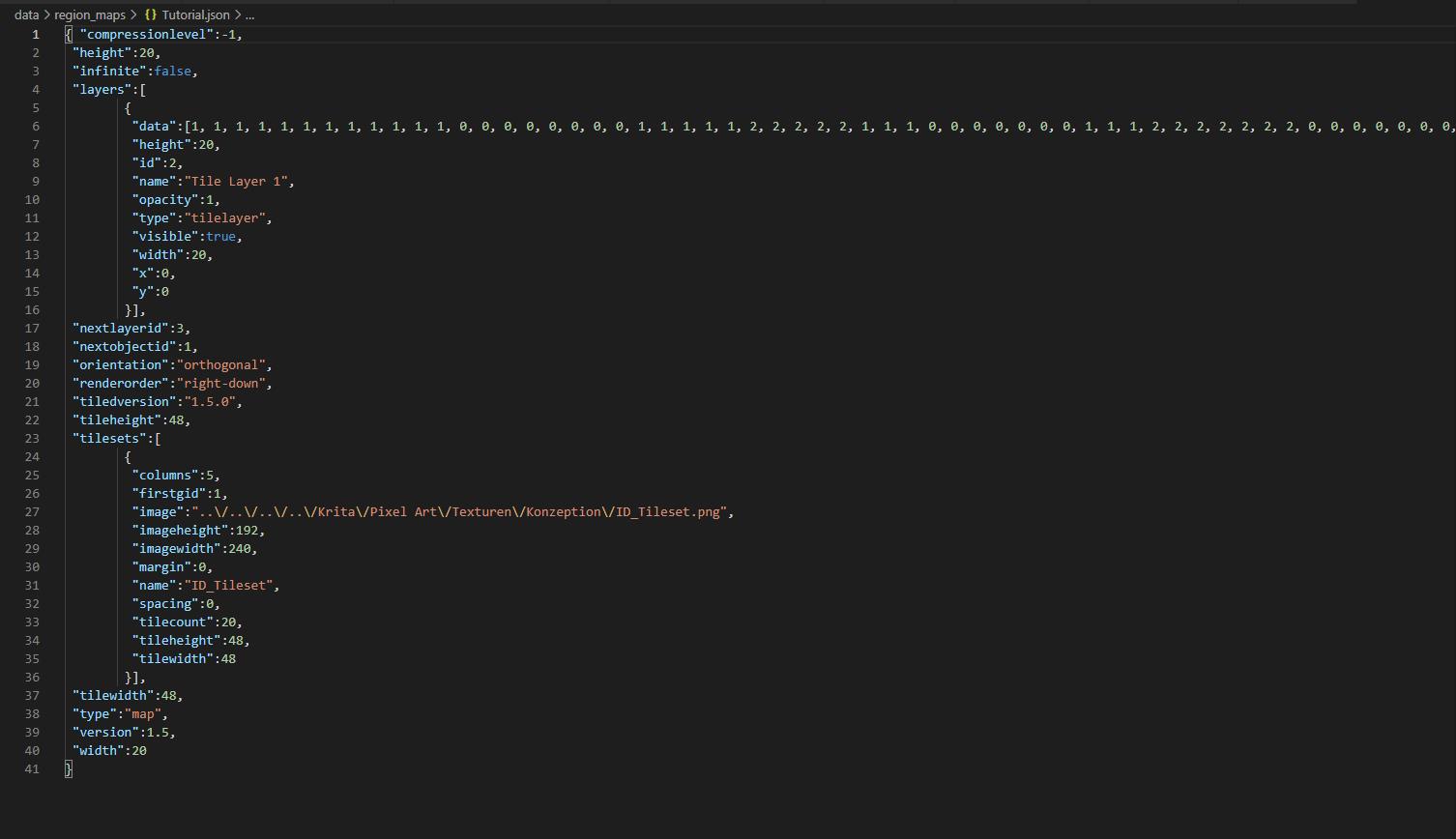
I will try to explain how it works. In Tiled you can create several tile layers with unique names. Then you fill them with tiles, which have their own IDs, which were created by Tiled, when you imported a tileset. Then you export the map with all its layers as a JSON file. Inside the JSON exists an array for all layers. Inside each tile layer you can find an array named data, which is filled with numbers. These numbers represent the tiles you've drawn earlier in Tiled, so these numbers are the new Region IDs.

To use them, you load the JSON file with a notetag in the map properties in the RPG Maker map. When the map is loaded inside the game, all marked events and the player will get so-called Region Detectors. Region Detectors are new objects, which are detecting the Region ID of a certain Region Layer depending on the position of the player or an event they're assigned to. So an event or the player have several Region Detectors depending on the number of tile layers created in Tiled. This means that one position on the map contains several Region IDs. For example the player is standing on position 3|3, then the Region Detector for "Layer1" detects Region ID 5 and the detector for "Layer2" detects Region ID 7.
To get the information you need, the Script Call getRegionID(eventID, layerName) will return all needed information. In this way conditional branches can be created with these Script Calls.
I hope I could explain it properly. If not, feel free to ask. I'm always willing to answer your questions.🙂

