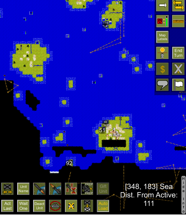
installed build 7, immediately, got patrol routes remaining on screen when zooming in and out.
other games grey out areas' of the map that no longer can been seen. still don't understand why EDCE can't do this. would be 'easier' to see area's that are visually covered or find where satellites' are; ect....
would be nice if note tags could be set; to remember what I wanted to do in this location, ect... Or/and an art work layer or 'acetate' layer for making notes and drawing plans.......


